
Where Worlds Divide
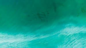
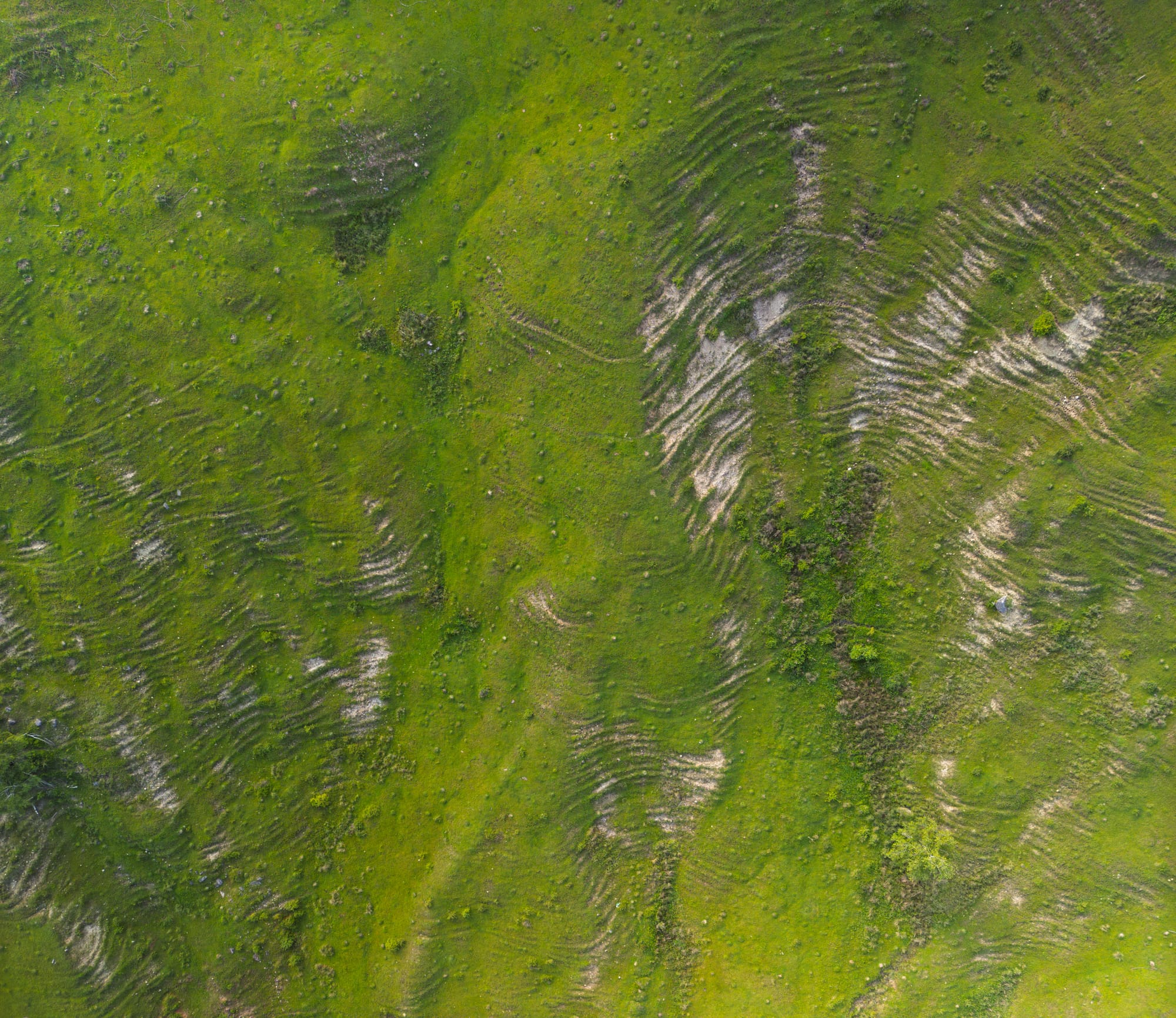
This wasn't a planned shot—it was a revelation. I was flying my drone to document wetland biodiversity when I noticed something that stopped me cold: the perfect visual metaphor for humanity's relationship with the natural world, laid out in geometric precision 120 meters below.
The road appeared almost surgical in its straightness, dividing two distinct aquatic ecosystems with mathematical precision. But nature, as always, had softened the edges with time, patience, and the slow persistence of growing things.
That narrow causeway isn't just human infrastructure—it's become an artificial reef of sorts. The road edges create shallow areas where aquatic plants establish, providing breeding habitat for amphibians and nesting sites for waterfowl. The embankment itself hosts terrestrial plants that drop seeds and organic matter into both water bodies, creating feeding opportunities.
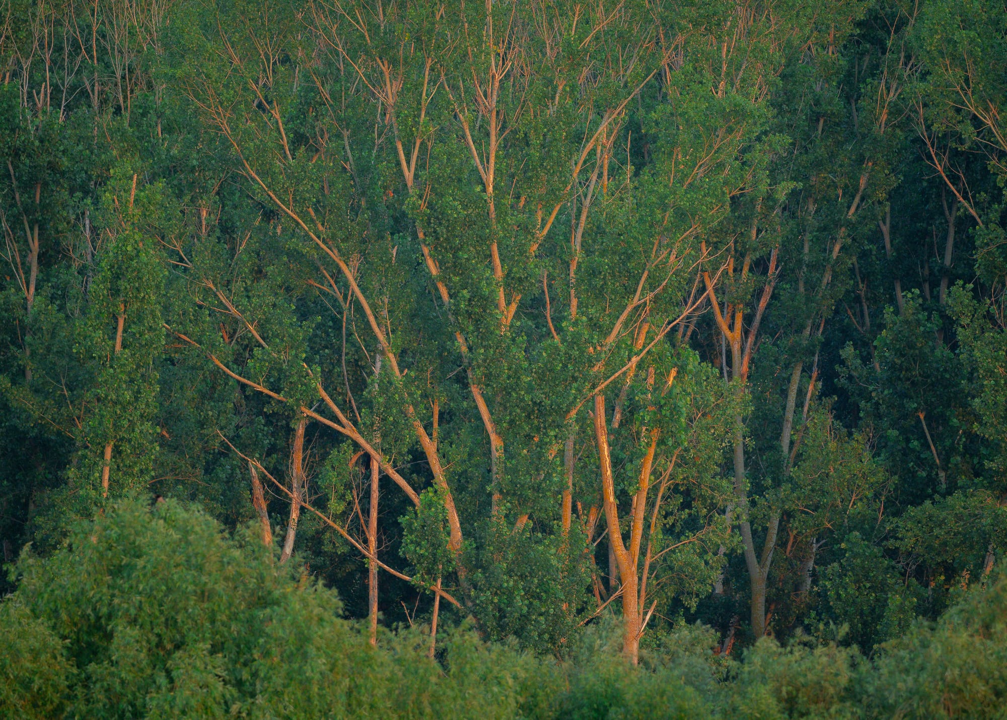
I've observed this location across seasons. In spring, frogs use the road edges for breeding pools. Summer brings dragonflies that hunt along the linear habitat edge. Autumn sees migrating birds using the causeway as a resting corridor between feeding areas.
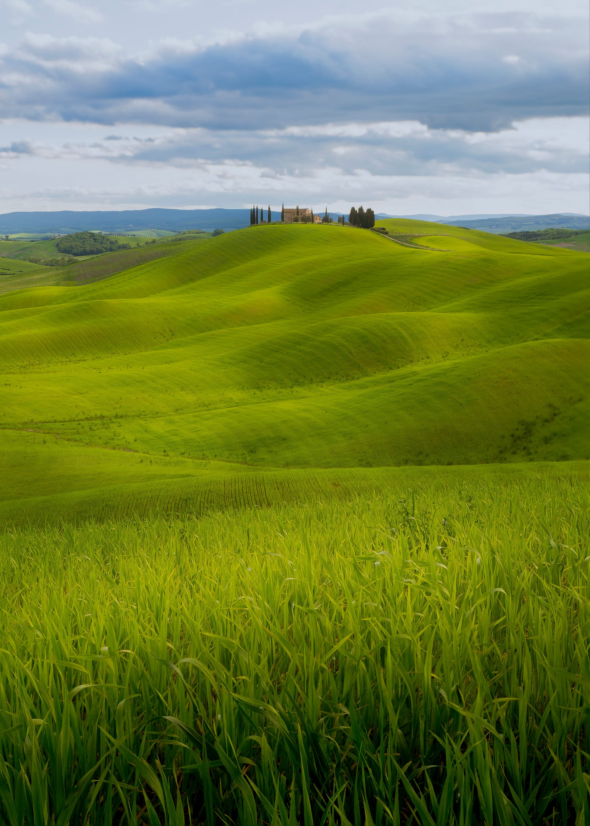
From ground level, this intersection appears unremarkable—just a road crossing water. But altitude reveals the hidden geometry of landscape management. The road's curve isn't arbitrary; it follows the natural contours that minimize ecological disruption while serving human transportation needs.
This single image represents thousands of similar intersections across Romania and Eastern Europe—places where human need and natural function have learned to coexist. From above, they become abstract art. From below, they're simply functional landscape.
But maybe that's the point. The most successful human interventions in natural systems are those that become invisible from ground level, that integrate so completely they appear to have always existed. Only the aerial perspective reveals the design intelligence—both human and natural—that makes such places work.


